Current location:International Interactions news portal > opinions
China's Earth science satellite transmits images home
International Interactions news portal2024-05-08 15:43:20【opinions】9People have gathered around
Introduction(Xinhua) 08:21, December 21, 2021Image captured by the satellite SDGSAT-1 shows a view of Paris in F
(Xinhua) 08:21, December 21, 2021

Image captured by the satellite SDGSAT-1 shows a view of Paris in France. China's recently launched Earth science satellite has sent back its first remote sensing images, according to its developer, the Chinese Academy of Sciences (CAS). Using thermal infrared, low light level and multispectral imagers, the satellite captured images of multiple cities and regions, including Beijing, Shanghai, the Yangtze River Delta, Lake Namtso in Tibet, Aksu Prefecture in Xinjiang, and Paris in France. The satellite SDGSAT-1 is the world's first space science satellite dedicated to serving the U.N. 2030 Agenda for Sustainable Development. The satellite was launched into space on Nov. 5. (Chinese Academy of Sciences/Handout via Xinhua)
BEIJING, Dec. 20 (Xinhua) -- China's recently launched Earth science satellite has sent back its first remote sensing images, according to its developer, the Chinese Academy of Sciences (CAS).
Using thermal infrared, low light level and multispectral imagers, the satellite captured images of multiple cities and regions, including Beijing, Shanghai, the Yangtze River Delta, Lake Namtso in Tibet, Aksu Prefecture in Xinjiang, and Paris in France.
The satellite SDGSAT-1 is the world's first space science satellite dedicated to serving the U.N. 2030 Agenda for Sustainable Development.
It is designed to provide space observation data for the monitoring, evaluation and study of interactions between humans, nature and sustainable development, according to CAS.
The low light level imager can reflect the level of social and economic development in an area and the pattern of human settlements by detecting the intensity and distribution of night lights.
The multispectral imager can monitor the water color index and transparency of various turbid water bodies, and the multispectral data can be used to analyze changes in glaciers, melting snow and vegetation coverage.
The thermal infrared imager can survey changes in land surface and water temperatures as well urban heat energy distribution, providing basic data for crop cultivation, pest control and disease control.
The satellite was launched into space on Nov. 5.

Image captured by the satellite SDGSAT-1 shows a view of Ulan Ul Lake in northwest China's Qinghai Province. China's recently launched Earth science satellite has sent back its first remote sensing images, according to its developer, the Chinese Academy of Sciences (CAS). Using thermal infrared, low light level and multispectral imagers, the satellite captured images of multiple cities and regions, including Beijing, Shanghai, the Yangtze River Delta, Lake Namtso in Tibet, Aksu Prefecture in Xinjiang, and Paris in France. The satellite SDGSAT-1 is the world's first space science satellite dedicated to serving the U.N. 2030 Agenda for Sustainable Development. The satellite was launched into space on Nov. 5. (Chinese Academy of Sciences/Handout via Xinhua)

Image captured by the satellite SDGSAT-1 shows a view of Aksu Prefecture in northwest China's Xinjiang Uygur Autonomous Region. China's recently launched Earth science satellite has sent back its first remote sensing images, according to its developer, the Chinese Academy of Sciences (CAS). Using thermal infrared, low light level and multispectral imagers, the satellite captured images of multiple cities and regions, including Beijing, Shanghai, the Yangtze River Delta, Lake Namtso in Tibet, Aksu Prefecture in Xinjiang, and Paris in France. The satellite SDGSAT-1 is the world's first space science satellite dedicated to serving the U.N. 2030 Agenda for Sustainable Development. The satellite was launched into space on Nov. 5. (Chinese Academy of Sciences/Handout via Xinhua)

Image captured by the satellite SDGSAT-1 shows a view of Jiaozhou Bay in East China's Shandong Province. China's recently launched Earth science satellite has sent back its first remote sensing images, according to its developer, the Chinese Academy of Sciences (CAS). Using thermal infrared, low light level and multispectral imagers, the satellite captured images of multiple cities and regions, including Beijing, Shanghai, the Yangtze River Delta, Lake Namtso in Tibet, Aksu Prefecture in Xinjiang, and Paris in France. The satellite SDGSAT-1 is the world's first space science satellite dedicated to serving the U.N. 2030 Agenda for Sustainable Development. The satellite was launched into space on Nov. 5. (Chinese Academy of Sciences/Handout via Xinhua)

Image captured by the satellite SDGSAT-1 shows a view of the Yangtze River Delta. China's recently launched Earth science satellite has sent back its first remote sensing images, according to its developer, the Chinese Academy of Sciences (CAS). Using thermal infrared, low light level and multispectral imagers, the satellite captured images of multiple cities and regions, including Beijing, Shanghai, the Yangtze River Delta, Lake Namtso in Tibet, Aksu Prefecture in Xinjiang, and Paris in France. The satellite SDGSAT-1 is the world's first space science satellite dedicated to serving the U.N. 2030 Agenda for Sustainable Development. The satellite was launched into space on Nov. 5. (Chinese Academy of Sciences/Handout via Xinhua)

Image captured by the satellite SDGSAT-1 shows a view of the Yellow River estuary. China's recently launched Earth science satellite has sent back its first remote sensing images, according to its developer, the Chinese Academy of Sciences (CAS). Using thermal infrared, low light level and multispectral imagers, the satellite captured images of multiple cities and regions, including Beijing, Shanghai, the Yangtze River Delta, Lake Namtso in Tibet, Aksu Prefecture in Xinjiang, and Paris in France. The satellite SDGSAT-1 is the world's first space science satellite dedicated to serving the U.N. 2030 Agenda for Sustainable Development. The satellite was launched into space on Nov. 5. (Chinese Academy of Sciences/Handout via Xinhua)

Image captured by the satellite SDGSAT-1 shows a view of Lake Namtso in southwest China's Tibet Autonomous Region. China's recently launched Earth science satellite has sent back its first remote sensing images, according to its developer, the Chinese Academy of Sciences (CAS). Using thermal infrared, low light level and multispectral imagers, the satellite captured images of multiple cities and regions, including Beijing, Shanghai, the Yangtze River Delta, Lake Namtso in Tibet, Aksu Prefecture in Xinjiang, and Paris in France. The satellite SDGSAT-1 is the world's first space science satellite dedicated to serving the U.N. 2030 Agenda for Sustainable Development. The satellite was launched into space on Nov. 5. (Chinese Academy of Sciences/Handout via Xinhua)

Image captured by the satellite SDGSAT-1 shows a view of Aksu Prefecture in northwest China's Xinjiang Uygur Autonomous Region. China's recently launched Earth science satellite has sent back its first remote sensing images, according to its developer, the Chinese Academy of Sciences (CAS). Using thermal infrared, low light level and multispectral imagers, the satellite captured images of multiple cities and regions, including Beijing, Shanghai, the Yangtze River Delta, Lake Namtso in Tibet, Aksu Prefecture in Xinjiang, and Paris in France. The satellite SDGSAT-1 is the world's first space science satellite dedicated to serving the U.N. 2030 Agenda for Sustainable Development. The satellite was launched into space on Nov. 5. (Chinese Academy of Sciences/Handout via Xinhua)

Image captured by the satellite SDGSAT-1 shows a view of Beijing, capital of China. China's recently launched Earth science satellite has sent back its first remote sensing images, according to its developer, the Chinese Academy of Sciences (CAS). Using thermal infrared, low light level and multispectral imagers, the satellite captured images of multiple cities and regions, including Beijing, Shanghai, the Yangtze River Delta, Lake Namtso in Tibet, Aksu Prefecture in Xinjiang, and Paris in France. The satellite SDGSAT-1 is the world's first space science satellite dedicated to serving the U.N. 2030 Agenda for Sustainable Development. The satellite was launched into space on Nov. 5. (Chinese Academy of Sciences/Handout via Xinhua)

Image captured by the satellite SDGSAT-1 shows a view of east China's Shanghai. China's recently launched Earth science satellite has sent back its first remote sensing images, according to its developer, the Chinese Academy of Sciences (CAS). Using thermal infrared, low light level and multispectral imagers, the satellite captured images of multiple cities and regions, including Beijing, Shanghai, the Yangtze River Delta, Lake Namtso in Tibet, Aksu Prefecture in Xinjiang, and Paris in France. The satellite SDGSAT-1 is the world's first space science satellite dedicated to serving the U.N. 2030 Agenda for Sustainable Development. The satellite was launched into space on Nov. 5. (Chinese Academy of Sciences/Handout via Xinhua)
Address of this article:http://www.triple-v.org/content-56d099876.html
Very good!(86)
Related articles
- Xi Extends Congratulations to New Slovenian President
- TikTok users losing access to Taylor Swift, Billie Eilish songs
- Otago councillors vote to delay notification of controversial land, water plan
- Swedish alarm after defence chiefs' war warning
- Chinese President Appoints New Ambassadors
- Pioneering observation satellite ERS
- Yemen strikes: Houthis hit US
- Former Pakistan PM Imran Khan gets 10
- Xi Meets with King Salman bin Abdulaziz Al Saud of Saudi Arabia
- In China, a factory is turning old wedding photographs into fuel
Popular articles
Recommended

Xinhua Headlines: Pooling Asian Wisdom for Better Global Governance
Sensitive NZ Police video evidence shuffled around US tech companies
The engineer designing needles to euthanise whales
Nine apologises for using digitally altered image of Animal Justice Party MP Georgie Purcell
Profile: Jiang Zemin's Great, Glorious Life
North Korea's Kim Jong Un turns 40 ... maybe
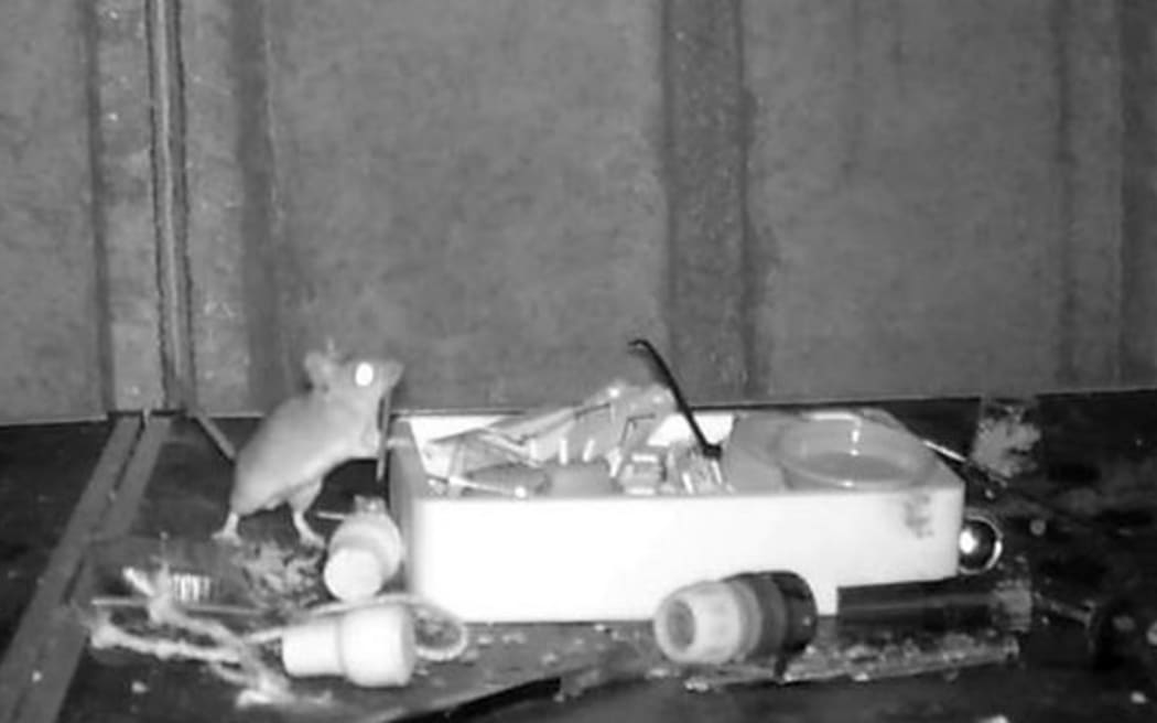
Mouse filmed tidying up man's shed every night
Chlöe Swarbrick announces she will run for Greens co


Links
- Stephenson hits 1st career grand slam, Fairchild drives in 2 as the Reds beat the Angels 7
- First aid consignment via Cyprus corridor departs for Gaza
- Cristian Arongo has 2 goals, 2 assists as Real Salt Lake beats Fire 4
- Top Democrat in U.S. House urges passage of Ukraine aid bill by end of next week
- Batman: Guardians slugger Josh Naylor celebrates his homer by striking himself on the helmet
- Emerance Maschmeyer stops 35 and Brianne Jenner has a hat trick as Ottawa beats Minnesota 4
- Jeremy Clarkson leads emotional tributes as BBC Top Gear legend dies aged 80
- Zack Wheeler has no
- Meet the man exposing NYC's toll
- Simon Cowell reveals why he wears red